Setting is a crucial part of any story.
Answering the question, "Where are we?" in a satisfactory way is
essential, both in life and in fiction. I've
blogged about maps and their importance to fictional worlds in a previous post, but I've once again been
thinking about them a lot, recently.
In my post "
Welcome to Rana Station," I introduced the
environment for the fictional world of my "XK9 novels." But that post only began to
open the door a little bit on the world I've been working to create.
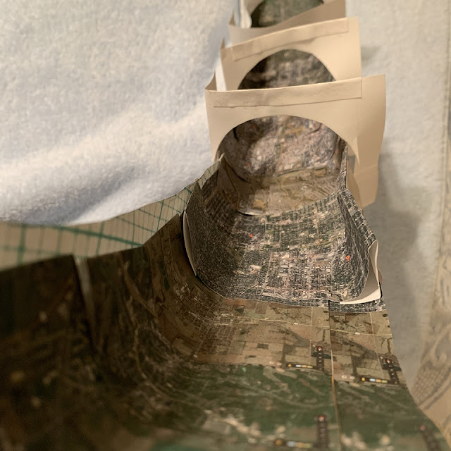 |
| I used printouts to scale from Google Maps, glued to a curving "1/4-torus" model in 2017. Each piece was a map of a location I knew well from real life. It was an attempt to visualize size, scale, and sight lines on Rana Station. |
The
lives of my characters unfold in a very particular series of settings, each with distinctive geographical features. To answer the "
where are we?" question--to make these settings come alive in my readers' minds--
this writer needs to envision them in rather specific detail.
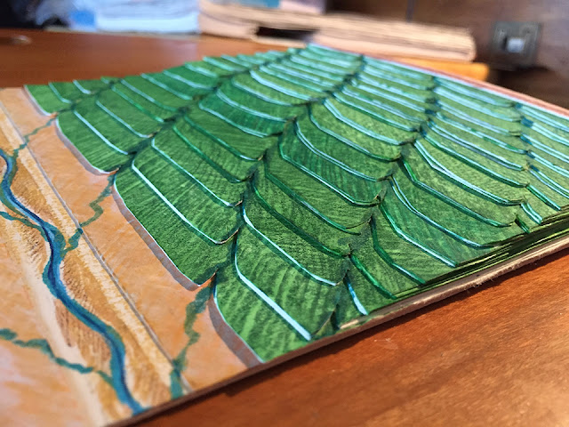 |
| Here's another 3D model, which I subsequently abandoned for a number of reasons. But it gave me a bit more of a feel for how the terraces might lie in relationship to each other, and what kind of drainage patterns might develop. |
That means
I have to make a map. Actually, it means
lots and lots of maps, of varying things at varying scales, for varying purposes.
Road maps,
transit maps,
maps of Corona Tower's layout and crops, maps of the
local parks,
floor plans, and more.
 |
| This is a 2D map of how I thought residence towers and crop layouts might look, on one of Precinct 9's agricultural terraces. The horizontal shapes in the lower part of the map represent a two-lane rim road with a sidewalk next to the crop rows and raised beds, a protective berm at the rim, and double maglev track on a level several meters below the lip of the cliff-like primary terrace. |
Each new scene or setting demands its own answer to "Where are we?"
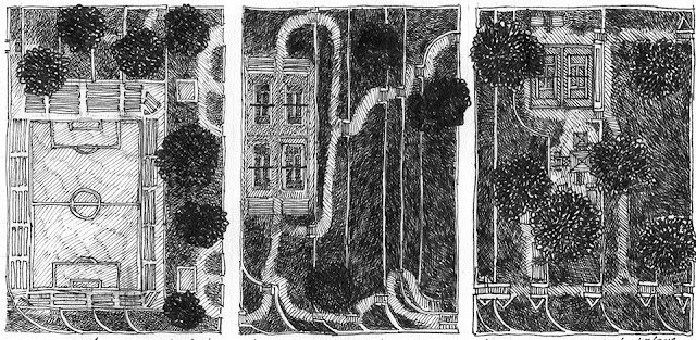 |
| As part of my efforts to figure out how the parks could have been laid out in the spaces alongside the transit switchbacks I describe in the books as connecting primary terraces, I designed several different park spaces. I envisioned the parks with multiple elevations, paralleling the switchbacks. |
Of course,
no paper sculptor is going to think of maps purely in terms of two dimensions. I needed to
add 3D elevation, to make sure the terraces, stairs, ramps, and switchbacks would work as I envisioned them. In some cases, I found that they did. In others? Not so much!
 |
| I made this 3D model in an effort to figure out how the switchbacks between primary terraces on Rana Station might look. |
Figuring out exactly how Rana Station works has produced
a long series of maps and 3D models, over the course of years. Some worked better than others. Some, I've abandoned altogether. And
some, like the three little "Park Sections" I put on my Art Show panel at SpikeCon, I've subsequently had matted and displayed as art.
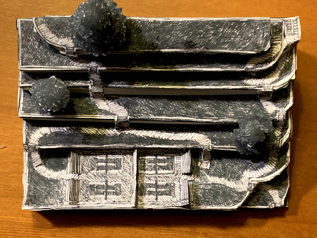 |
| Here's the Four-Tennis-Court and Terraced Lawn Space 3D model, developed from a 2D map drawing. With matting help from my husband Pascal and our friend Randal Spangler, I prepared them for display at SpikeCon this month. |
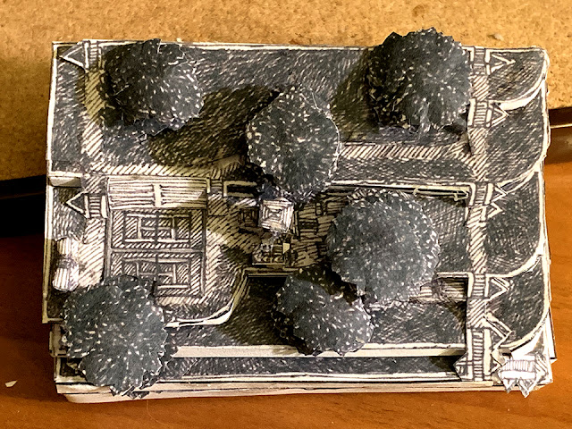 |
| This is my Playground and Tennis-Court Park Space 3D model that I developed from a 2D map drawing. With matting help from my husband Pascal and our friend Randal Spangler, I prepared them for display at SpikeCon this month. |
 |
| This is a photo of my Art Show display panel at SpikeCon in July 2019, featuring her paper sculpture, including the three "Park Space" models, near the center of the display. |
This mapping and modeling process is far from over. The "Where are we?" questions continue to develop.
IMAGES: All the photos in this post were taken by me, Jan S. Gephardt, of my own models, maps, and 2019 SpikeCon Art Show panel. If you wish to use or re-post any of them, please do me the courtesy of an acknowledgement and a link back to this post. Thanks!


